Remote sensing in the media has become ubiquitous, with satellite imagery appearing in everything from the news to sitcoms to blockbuster movies, and even commercials. Given the varying levels of quality and interpretability, there is much to think about and discuss!
Wednesday, July 7, 2021
The Cameron Peak Fire burned from August - December 2020. To this day it is Colorado's greatest wildlife, burning over 200,000 acres in approximately 5 months time. Although the cause of the fire still remains unknown, its origins are still under investigation. In total, Larimer County (where Fort Collins is located) tallied over 450 structures damaged or destroyed. To add, approximately 30,000 acres or almost 9% of Rocky Mountain National Park were burned.
Fig. 1
Evacuations (mandatory and voluntary) west of Fort Collins, CO

Fig.1 Displays the evacuation outcomes for residents in mid-October 2020. This is image is important as it could have been used by residents to gain a better understanding of how they're being influenced by the fire. To add, this map, along with others supplied by Larimer County were updated regularly. This map can also be important for authorities attempting to inform future citizens about what can happen; as in all likelihood there will be more fires in the future.
Fig. 2
Smoke Plume of Cameron Peak Fire
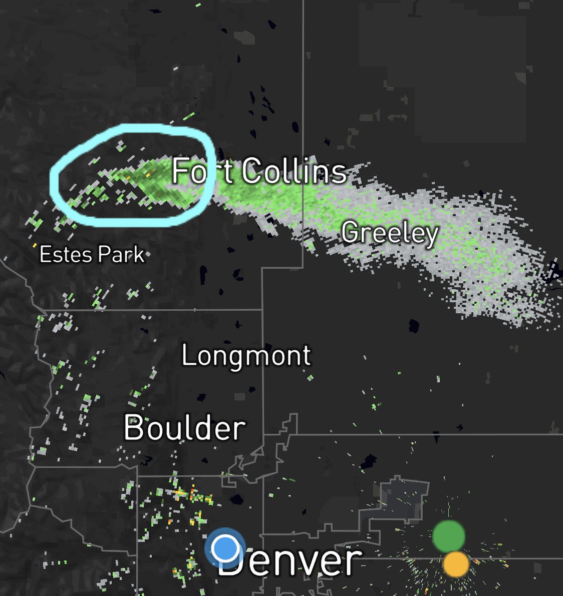
Fig. 2 Displays the smoke plume of the Cameron Peak fire on October 14, 2020. This map portrays the extent of the smoke and is important to residents of the area, as they can monitor to an extent how impactful the smog outside their homes will be. To add, having this smoke information public is a valuable resource, as officials and the public will be able to compare its results to that of future or past events.
No comments:
Post a Comment